An argument – a good and just one at that – could be made that the whole of Scotland should be a national park, but the reality is that Scotland has only two national parks: Loch Lomond and the Trossachs and the Cairngorms. Both are incredible places of wild and gorgeous beauty, and on my last trip to Scotland I found they do not stand alone in that category.
The region of Dumfries & Galloway in southwest Scotland is anchored by a huge swath of wilderland called the Galloway Forest Park. This innocuously-named span of hills, lochs, and forest broods beneath some of the darkest skies in the country with terrain as raw and beautiful as any in Scotland. The Galloway Forest Park might not be a national park, but nevermind that nonsense. It should be one, and when you’re planning your trip to Scotland you ought to keep this beauty in mind.
The Galloway Forest Park is a huge place and, unless you live there, you’ll need to choose your experience of it wisely. There’s the Merrick, Clatteringshaws, Glentrool, and a host of other worthwhile trails, glens, and monuments to explore and find. Speeding south from Ayrshire through the desolate northern reaches of the park, I decided to pull into the Glentrool visitors center.
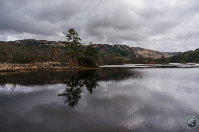
After a strong coffee and a look at the trail routes in the visitor center, I decided to tackle the Loch Trool circular route. It was to be a 3-4 hour hike, and it was only mid-morning and I didn’t need to be to Kirkcudbright until later in the afternoon. I drove my car a bit beyond the visitors center and parked in a small lot by the rocky trail, grabbed my water and camera bag, and set out. Before long I was at one end of Loch Trool and scoffing at the printed length of the hike. The trail pulled me through a small wasteland of felled trees and then to the same road I drove in on as it went toward the more popular parking spot in this part of the park. I had a lengthy up-hill hike ahead of me before I found out why that was the case.
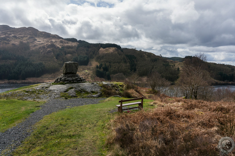
A much bigger parking lot hid in the shadow of the Merrick, the highest mountain in the southern uplands, and the small hill overlooking Loch Trool that was home to Bruce’s Stone (archaically known as Bruce’s Stane). At 2,766 feet, the Merrick is just short of Munro status. Nonetheless, it is a popular hike that yields great views over Galloway. The mountain is part of the Range of the Awful Hand, and who wouldn’t want to climb that? On the other side of the parking lot, a small trail leads up to the Bruce’s Stone, a massive, inscribed block of granite that commemorates the Battle of Trool, Robert the Bruce’s first victory over the English here in 1307.
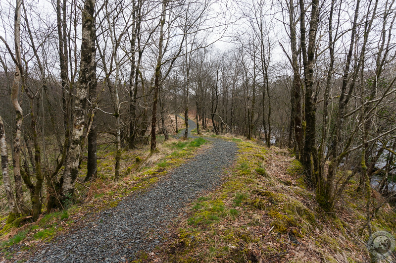
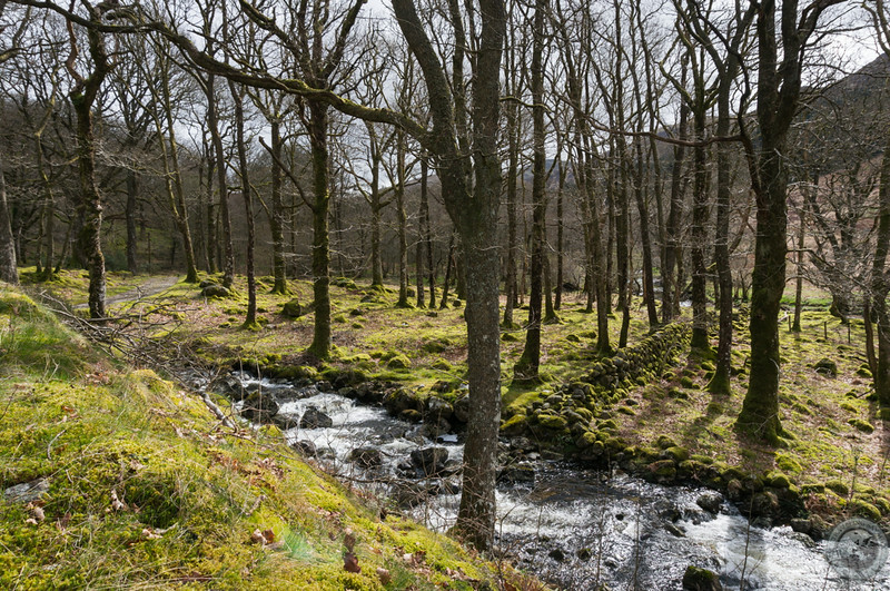
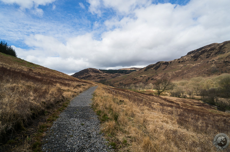
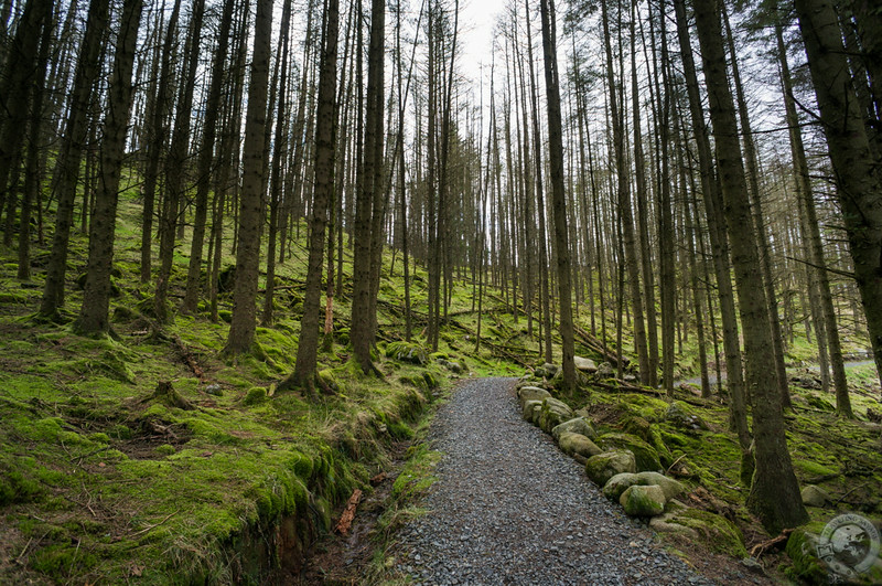
I left the families and dog-walkers in the car park and pressed onward, continuing along the northern edge of Loch Trool. Old oaks, rushing burns, stone bridges, and moss-draped wood accompanied me as I continued in a pleasant silence. This was turning out to be one of my favorite hikes in all of Scotland. You get the feeling that this is a place only the residents of Dumfries & Galloway know well.
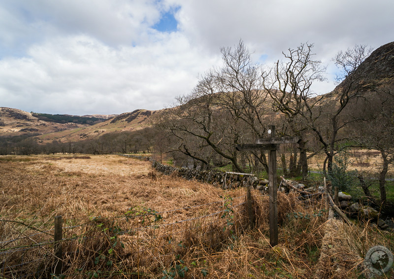
As I crossed the glen head, a small stream that fed the loch, I came upon a signpost. The circular track around Glentrool intersects with the Southern Upland Way, one of Scotland’s long-distance footpaths. The Way runs from Portpatrick in the Rhinns of Galloway – in the westernmost part of the region – all the way across southern Scotland to Cockburnspath, just south of Dunbar on the North Sea coast. Scotland has a series of this long-distance trails, including the famous West Highland Way, and I always seem to toy with the idea of centering a trip around one of these hikes when I’m out hiking.
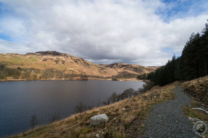
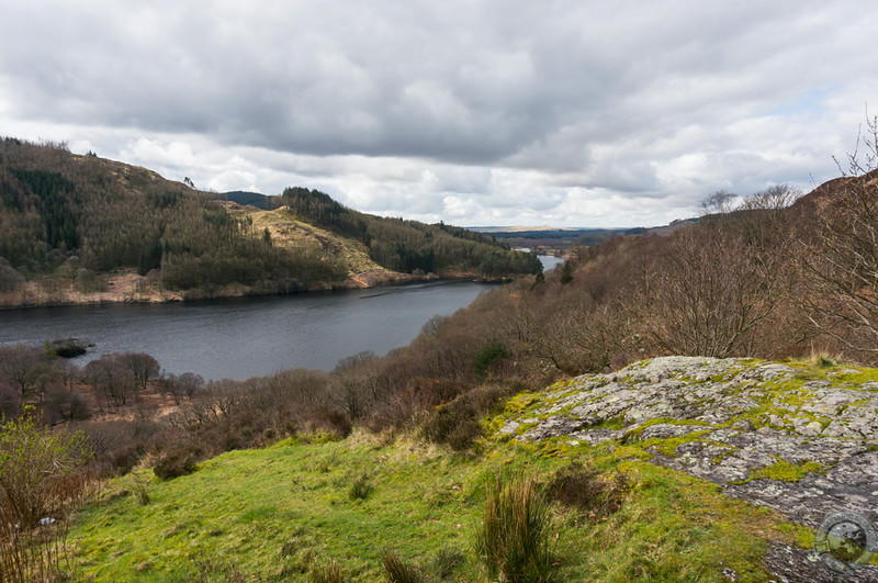
The southern side of the loch alternates between wind-swept hillsides and atmospheric, mossy woodland. I look back every so often at the wide, glorious views of the loch. Occasionally I spot people on the other side, especially near Bruce’s Stone, but their minuscule size reminds me that this is a long, serious hike. I stop to look at informational boards about the Battle of Trool right where it happened, and it isn’t hard to imagine the Bruce’s troops ambushing the English along this steep hill face.
By the time I swing around the edge of the loch and find the trail back to my car I’m holding my jacket and letting the cool Scottish air dry the sweat I worked up on the hike. The overcast sky broke apart to reveal sunshine and blue sky, which in turn disappeared during a brief shower. This hike was quintessential Scotland, one of my favorite activities on the whole trip. I had planned to visit Clatteringshaws Loch a few days later, but a travel cold keep me from doing that. Needless to say, I will be back to the Galloway Forest “Park.”
A note for mountain bikers: Glentrool is part of the awesome 7Stanes mountain biking trail collective. If mountain biking is your thing you can’t do better than 7Stanes.

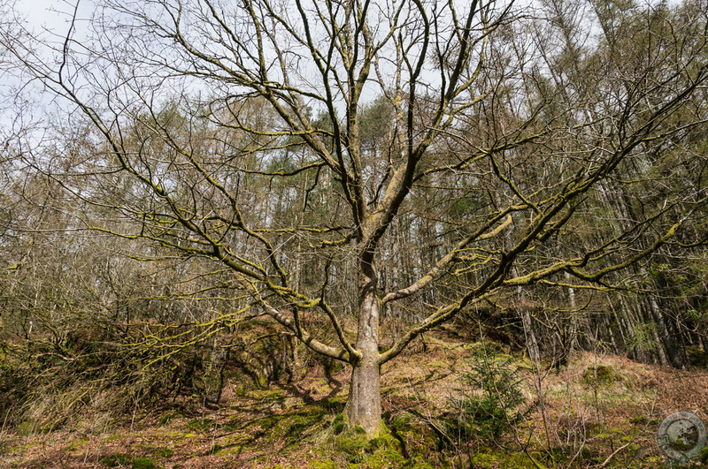
Oooh…lovely. The deep mossy greens of the woods are a balm to my eyes as our monsoon rains have yet to fall here in the Sonoran Desert of Arizona; the wetness saturating your fabulous photos is delightful! May I ask, however, what dates you were hiking here? I notice the leaves are not yet out on the trees…
The date was April 11.
Thank you! I go next year in mid-May and surely hope there will be leaves on the trees! 🙂
Great description & photos of your hike! I especially like those of Roberts Stane, the third to last trail pic, and the last trail pic. If I’m ever in the southern area, I’ll look it up. Thanks for introducing this in an area I really hadn’t considered before.
My pleasure, Dave!
Awesome pictures! Thanks for posting 🙂
[…] my journey through southern Scotland continued from Ayrshire through the Galloway Forest Park and down toward the Solway Coast, my Traveling Savage “headquarters” moved to […]
Hi–
In agreement that all of Scotland should be a national park!
Question: on a recent trip from Culloden to Braemar (stopping for whisky, of course!) there was a relatively modern stone with etched sayings by the side of the road. Any ideas if it has a name?
I can send a photo if need be–
Thanks for a lovely site!
Carol
Hi Carol,
I know the stone you speak of: http://www.traveling-savage.com/2012/12/13/picture-this-star-strathdon-corgarff-castle/. It’s on the overlook viewing Corgarff Castle. However, I don’t know that it has a name.
Cheers,
Keith
[…] and beautiful as any in Scotland. There are many places to hike within this beautiful park, and Glentrool is one of the most ideal for casual […]