You would be forgiven any confusion upon hearing that Isle of Whithorn is one of the most southerly towns on mainland Scotland.
How could an island be on the mainland?
That was the question that spurred me onward from Kirkcudbright and late into the day after visiting Glenluce Abbey and Castle Kennedy. Most people don’t pay much attention to the extreme south of Dumfries & Galloway, largely composed of a horn of land jutting into the Solway Firth called The Machars and variously described as disconsolate, desolate, and grim. It’s a safe bet that I will proceed directly to these locations after hearing such ill tidings for I’ve found that my opinion of these s0-called bleak places is often at odds with those of the locals.
Leaving the A75 at Glenluce, I drove south along the west coast of The Machars and developed my first impressions of the region. The Machars is covered in rolling dairy farmland and dotted with more than a few lochs. Stoney beaches outline the peninsula, and keen-eyed explorers will spot Iron-Age ruins, tumble-down castles, and perhaps some roe deer among the patches of forest. Barring Wigtown’s bookish reputation and the recently-closed Bladnoch distillery (my appointment was canceled as they went into receivership just after I arrived to Scotland), there isn’t much else about The Machars within popular consciousness.
Except Isle of Whithorn, a tiny, sea-side enclave that lies off The Machar’s beaten path – if such a thing could be said to exist. Remember The Wicker Man?
Isle of Whithorn is a classic Scottish harbor town. This was the place where Ninian, the famous Christian missionary and saint, made landfall near 1,600 years ago. From here, St. Ninian spread the Christian message across Scotland and became known as the Apostle to the Southern Picts, but for most of its secular history, Isle of Whithorn has served as the port for the town of Whithorn just a few miles to the north. Here you would have found smugglers, steam packet ships, and passage to Australia and the New World. These days Isle of Whithorn is a leisure and fishing center and no longer an island. In 1790, a causeway linking the island to the mainland was built, and the town has since grown up around it.
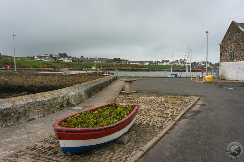
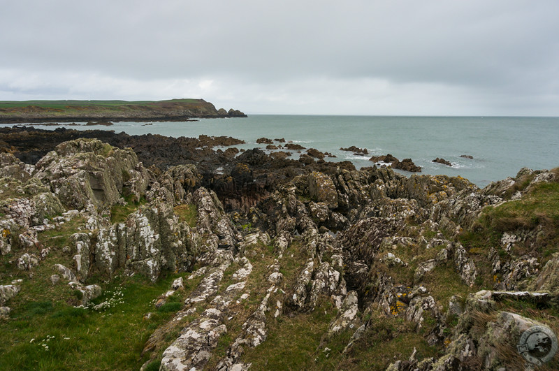
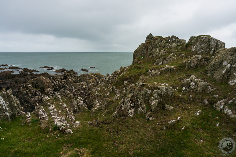
The overcast day was cold and windy as I drove along the harbor and parked my car in a grass lot by the slipway. Now that I’d seen with my own eyes that Isle of Whithorn was not an island I could safely turn to my next goal, which was to drink ale at the lauded Steam Packet Inn. I needed to work up a thirst, first, so I pressed through the wind and hiked along the rocky promontory bordering the village, feasting my eyes on classic Scottish sea and surf.
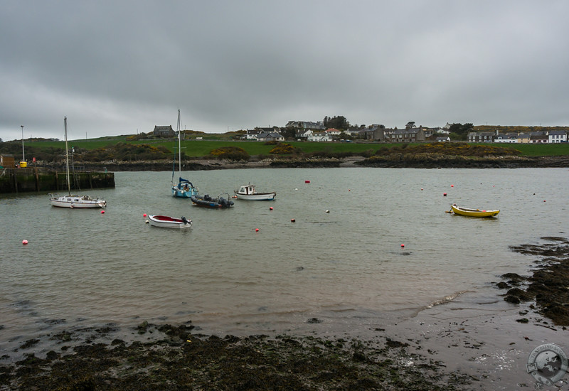
Isle of Whithorn has a salty air. Small skiffs wobbled in the muddy harbor and everywhere I looked I found the trappings of a small fishing community: Rusted anchors, florescent buoys, rope spindles, weathered masts, and nets draped in algae. The streets were empty despite it being Saturday, so I dissembled no longer and popped into the cozy, worn Steam Packet Inn, a place I had found on CAMRA’s excellent WhatPub? database. A pint of Timothy Taylor Landlord in hand, I looked out the windows upon the harbor and soaked in the chatter of the locals drinking their cheer.
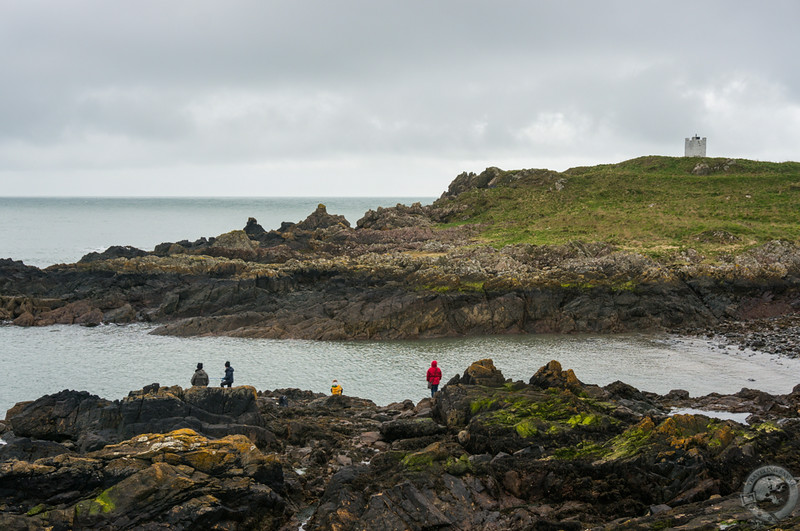
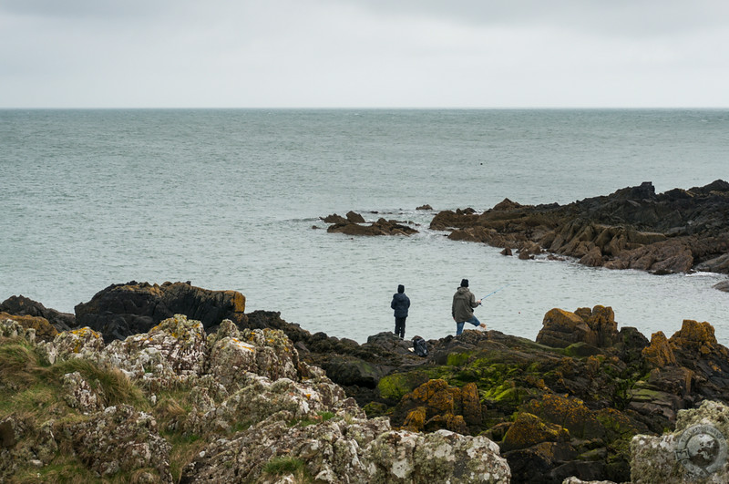
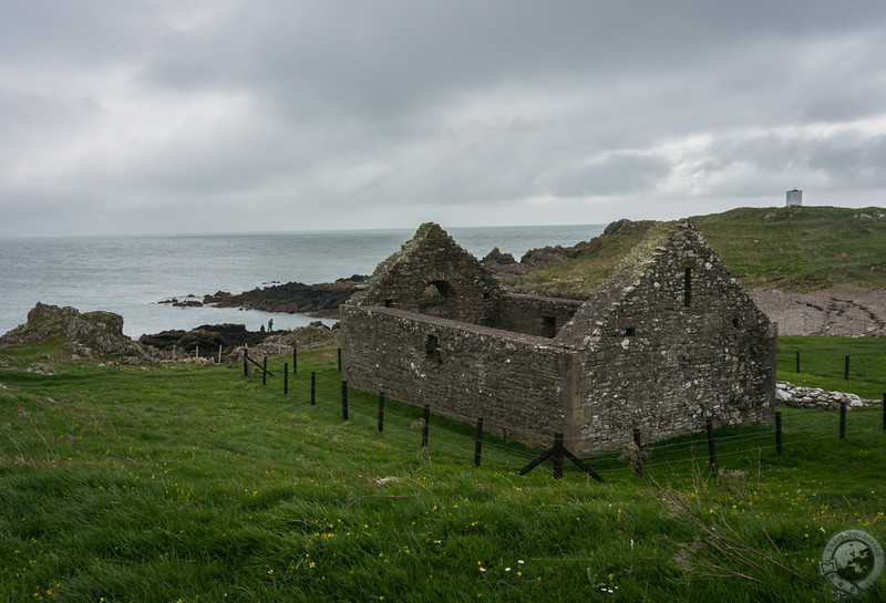
When drinking alone, a pint is about the extent of the fun. I returned to the elements and happened upon a family fishing from the shore, standing on stones that looked like charcoal briquets carelessly dropped on the beach. I knew the area was fished for lobsters, but clearly that was not their prey. As I moved up the hill to get a better look, I stumbled upon the 13th-century ruins of St. Ninian’s Chapel.
In typical Scottish fashion – a fashion I appreciate immensely – the chapel stands as part of the landscape with only a simple fence close to the structure. There’s a nonchalance about the chapel and its position behind the row of buildings facing the harbor, and it’s difficult to convey how such a little thing can be so important. By not walling off their sites of historic importance the Scots have allowed the wonder of those places to imbue the land with their essence.
There was an older chapel here, long ago, for Ninian was said to have landed around 380 AD, and Isle of Whithorn has ever been the destination for pilgrims. As you can see, it’s still drawing us here.

great post, as always!
Beautiful! I love those craggy shorelines and moody views. I wonder if the fishing family was catching any fish?
[…] south on the B7063 to Isle of Whithorn, the southernmost point on your journey around The Machars. This pretty, little town nestles along […]
Why is the Isle of Whithorn called an Isle ? Could it be that the farmland to the north was once a marsh which cut the town off from the rest of Scotland
Good question, Peter. Possibly. The issue arises with Black Isle in northern Scotland, which is a peninsula. I suppose it’s possible that these places were named when sea levels were higher.